
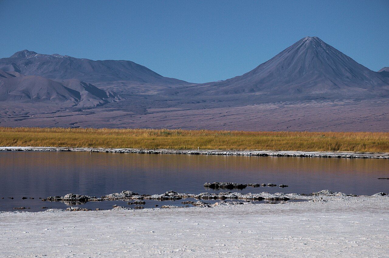
South of San Pedro the oasis gives way quickly. Trees thin, the soil turns pale, and within a few kilometres you are driving across the northern edge of the Salar de Atacama, a salt flat so wide that its far shore is a line of mountains rather than a coast. Here and there the crust breaks open into pools of deep water. Laguna Cejar is the best known of them, because it does something few lakes do: it refuses to let you sink.
The water is far saltier than the sea. Lie back, let your legs rise, and you float with your face, toes and half your body above the surface, held up without effort. It is an odd, gentle sensation, and after a long dusty morning in the desert it feels like a reward.
What the lagoon is
Cejar is one of a cluster of small lagoons on the edge of the salt flat. Water seeps up from underground, filling hollows in the crust, and the strong sun evaporates it so fast that the salt left behind grows ever more concentrated. The edges are rimmed with white crystals, and the colour of the water shifts from turquoise near the shore to an inky blue in the middle, where it drops away steeply.
Behind it, across a band of reeds and dry grass, the volcanoes of the Andes stand in a row. The cone of Licancabur is the one you notice first, perfectly shaped and often streaked with snow in winter. On a still day its reflection lies across the lagoon almost unbroken.
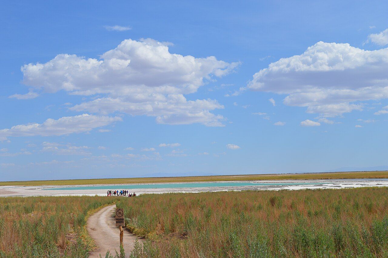
The land around the lagoons belongs to the territory of a local Lickanantay community, which manages visits, builds the paths and collects the entry charge. Treat the place as someone's home ground rather than a public beach, and the rules below make more sense.
How the floating feels
Getting in is the strangest part. The bottom near the edge can be crusted and sharp, so wear sandals or step carefully where others enter. Once the water reaches your waist, lean back slowly. Your legs float up on their own, and you find yourself lying on the surface as if on a soft mattress.
Swimming in the usual way is awkward, because your hips keep rising. Most people simply drift, turning slowly to look at the mountains. Keep your head up and your face dry: a splash of this water in the eyes stings badly, and swallowing a mouthful is unpleasant. If you do get some in your eyes, rinse them with fresh water from your bottle at once.
The water is often cooler than it looks, even in summer, and the wind across the salt flat can be sharp. Many people stay in for ten or fifteen minutes and then come out to warm up in the sun.
The swimming rules
Swimming is allowed only in the lagoon or lagoons marked for it, and the rules about which ones have changed over the years as the community has worked to protect the more fragile pools. Signs and staff at the entrance explain what is allowed on the day. Follow them even where you see older photographs of people swimming somewhere else.
- Stay on the marked paths. The crust and the reed beds around the lagoons are easily damaged, and birds nest in some of them.
- Keep sunscreen and repellent out of the water where staff ask you to. Oils and chemicals build up quickly in small, still pools.
- Leave no rubbish, not even fruit peel. Nothing breaks down fast here.
- Do not take salt crystals or stones as souvenirs.
Entry is paid at a booth on the way in. Charges and opening times are set locally and revised from time to time, so ask in town or look for current notices before you set out.
Look up next: Pink birds on a white salt plain
Sun, salt and skin
When you climb out, the water dries on your skin within minutes and leaves a fine white layer of salt. It feels tight, then itchy, and if you have any small cuts you will know about them. Showers or taps with fresh water are usually available near the lagoon, and a big bottle of your own water is a good backup. Rinse your hair and swimsuit too, or they will stiffen as they dry.
The sun is the bigger danger. At this altitude the light is fierce, and it bounces back off the white crust and the water. Wear a hat and sunglasses between swims, cover your shoulders, and put sunscreen on after you have finished in the water and rinsed off. Lips burn quickly in the dry air, so a balm with sun protection helps.
Drink plenty. Floating feels lazy, but the heat, the wind and the salt dry you out faster than you notice. If you are new to the altitude and the dry air, a lagoon day is a good easy outing, with no climbing and little exertion.
The Ojos del Salar and nearby lagoons
On the way to Cejar, many visitors stop at the Ojos del Salar, the "eyes of the salt flat": two round pools side by side in the open plain, with fresher water than Cejar and sheer edges. Seen from above they really do look like a pair of eyes staring at the sky. Rules on swimming there have varied, so treat them as a place to look unless a sign clearly says otherwise.
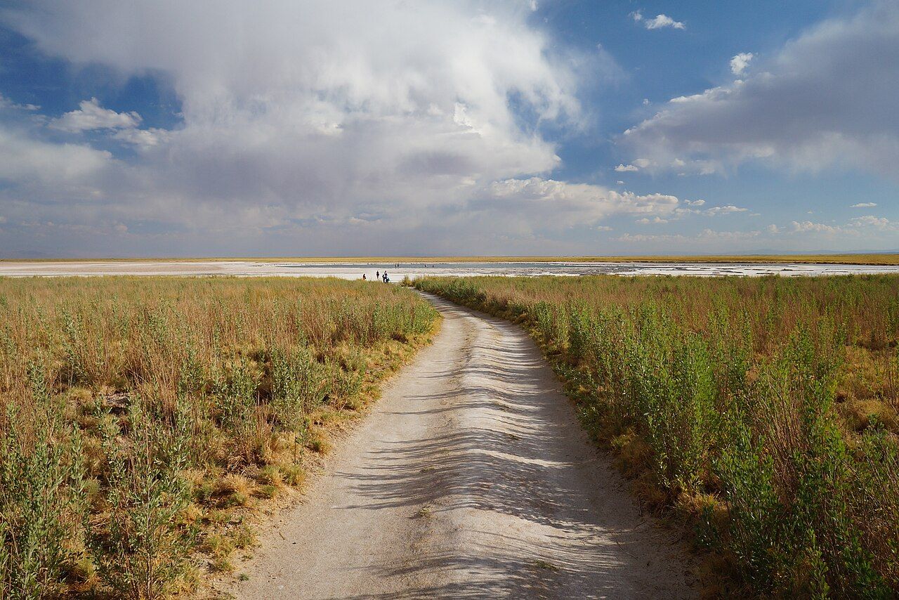
Further along the same edge of the salt flat lies Laguna Tebinquiche, a shallow, mirror-like sheet of water ringed by salt. Many people finish the day there, watching the volcanoes turn pink as the sun goes down behind them. Flamingos sometimes feed in these shallows, though the larger colonies gather further south at Laguna Chaxa.
Twenty kilometres of gravel
The lagoons lie roughly twenty kilometres south of town, partly on gravel roads that turn off the paved highway. The drive is short, but the tracks are dusty and poorly signed in places. If you drive yourself, go slowly, carry water, and turn back if the road is closed or flooded.
Afternoons are popular because they lead into sunset, while mornings are calmer and often less windy. Any month works, though the water feels coldest in winter, from June to August, when the air at the end of the day turns properly cold. Bring a warm layer even in summer for the moment you climb out.
The site itself closes around dusk, so this is a daytime outing. If you want stars afterwards, plan to stop on the way back at a safe pull-off well away from the road, and read up on moon phases and the best nights before you go. On a moonless evening, the sky above the salt flat fills in quickly once the last light fades.